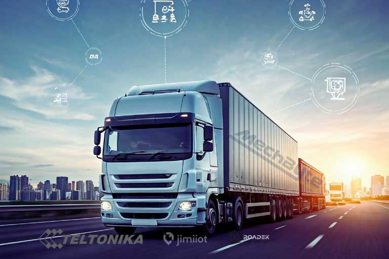


In locations where cellular networks are unavailable such as remote deserts, offshore routes, or cross-border highways, vehicle tracking can continue using satellite communication.
By using an Iridium Edge satellite tracker alongside a Teltonika GPS device, vehicle data is collected even when GSM or LTE coverage is lost. The Teltonika device gathers GPS data such as location, speed, and movement, while the Iridium Edge unit transmits essential tracking data via the Iridium satellite network.
Once satellite connectivity is available, the transmitted data is received by the backend system and made available on the MechByte platform, where it appears seamlessly alongside standard cellular-based tracking data. This ensures continuous visibility of vehicles regardless of network availability.
This hybrid setup is commonly used for:
-
Remote and desert operations
-
Long-haul logistics and cross-border transport
-
Mining, oil & gas, and infrastructure projects
-
High-value asset tracking in isolated areas
MechByte supports integrating satellite and cellular tracking data into a single dashboard, allowing uninterrupted monitoring even in zero-coverage environments.